Archaeology and Cultural Resource Projects
AERC offers various cultural research services including archaeology excavations, oral history projects, GIS mapping, and digital reconstruction. Learn more about our archaeology and cultural projects below.
Archaeology
Chernofski Archaeology
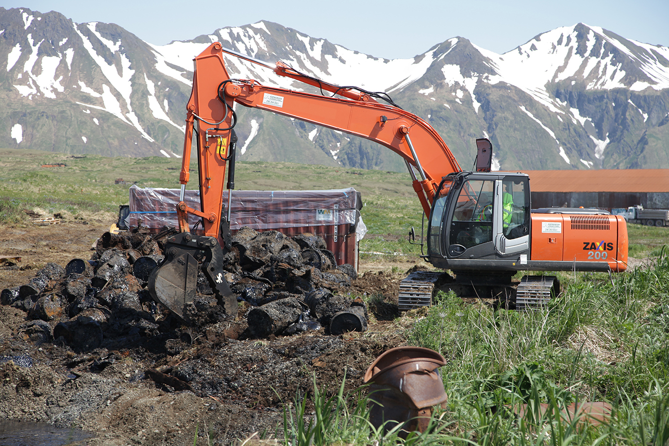
AERC spent a summer on the eastern edge of Unalaska Island documenting materials from World War II and artifacts and tools dating back centuries.
Kahuku Archaeology
The US Army's Kahuku Training Area overlaps an important cultural area, home to some of the Oahu’s earliest and best-known stories.
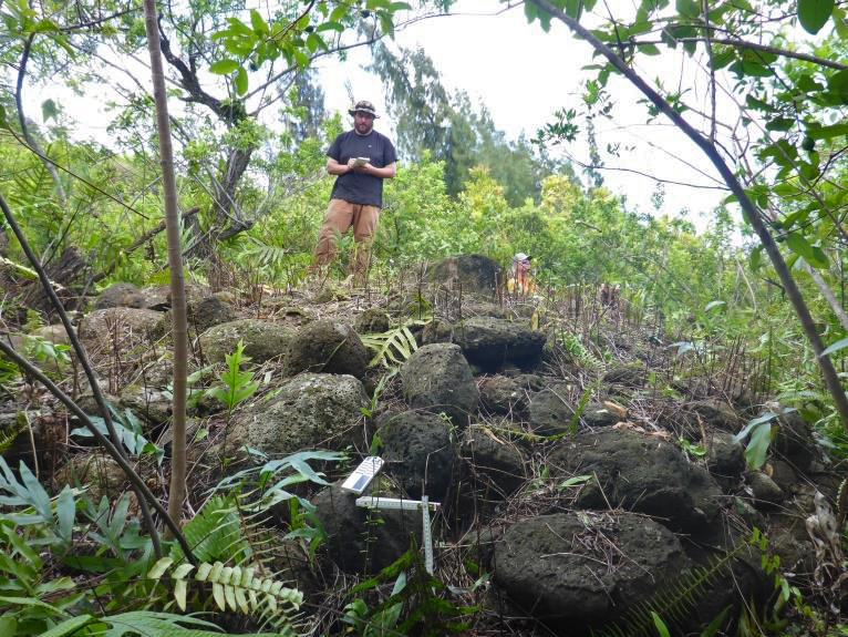
Pōhakuloa Archaeology
UAA faculty and students traveled to the Big Island to survey a remote, unstudied corner of Pōhakuloa Training Area, the largest American military installation in the Pacific region. (Photo: Eric Hamilton, US Army Garrison Pōhakuloa Training Area)
Surveying and Documenting
Shemya WWII Building Survey
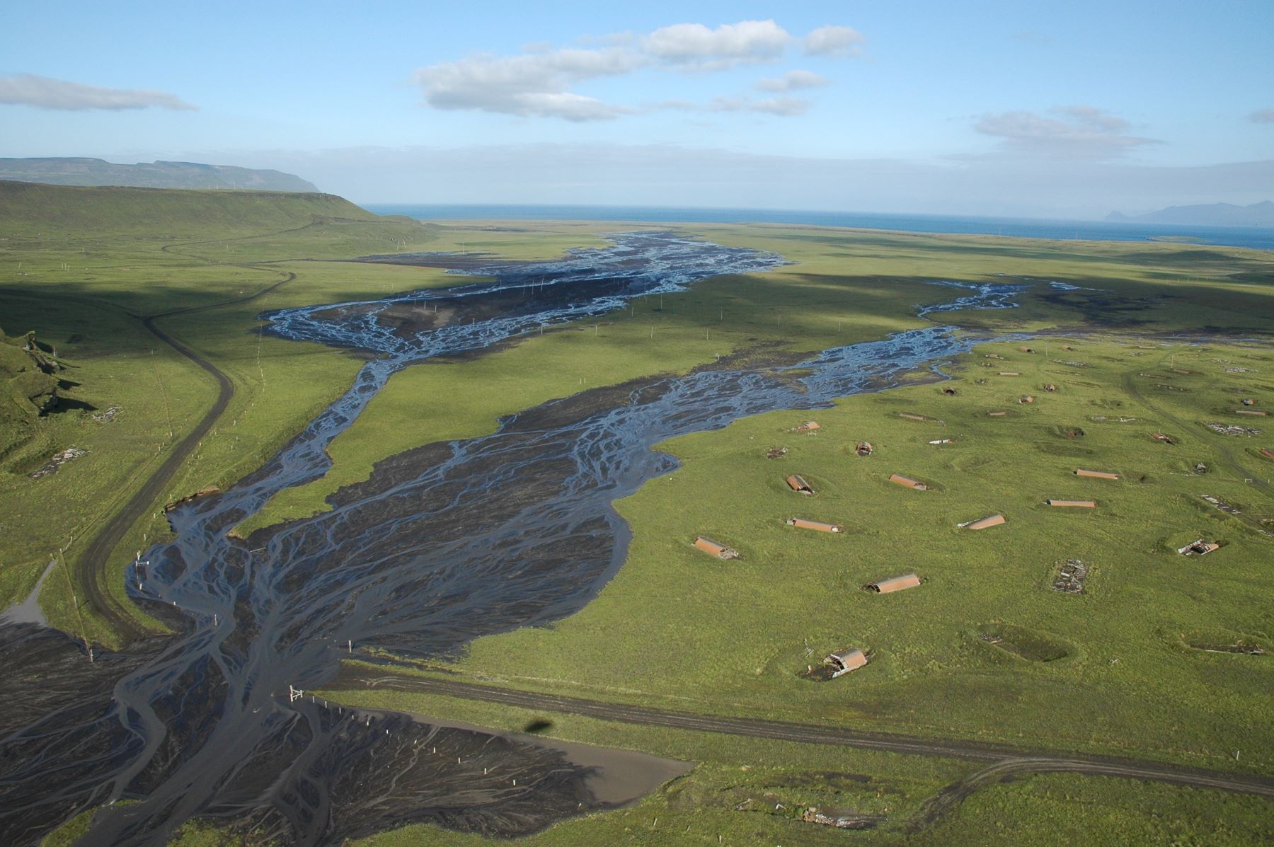
Using satellite and GIS, researchers mapped the earthen berms that supported Eareckson Air Station at the end of the Aleutians. The project culminated with a public display.
Wake Island Historic Building Survey
AERC researchers documented the significance of WWII facilities at the Wake Island Airfield, aiming to mitigate deterioration and demolition. (Photo: Sgt. Matthew Bragg, USMC Pacific)
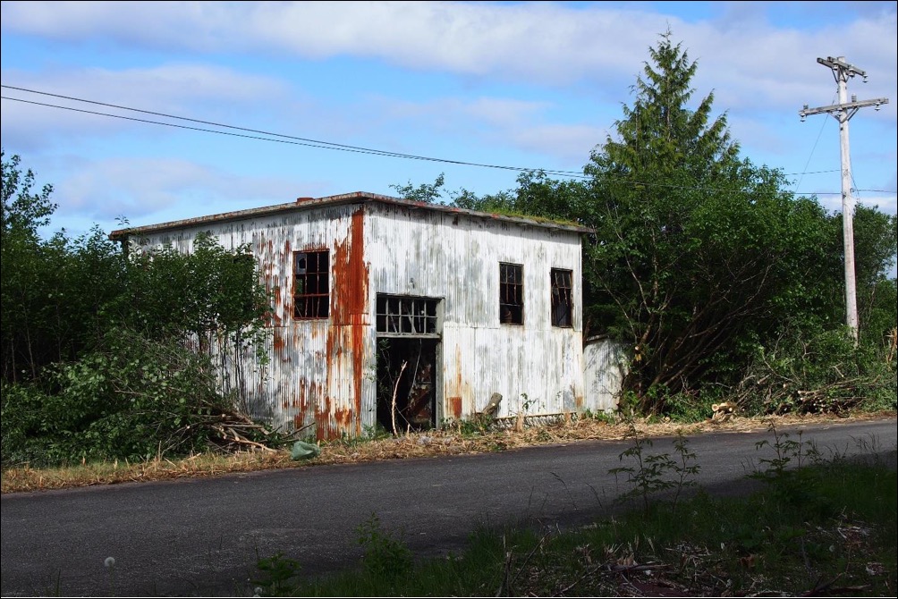
Metlakatla Building Survey
Annette Island Army Air Field is a national historic site in Metlakatla. AERC surveyed and documented a World War II building slated for remediation.
Architectural and Cultural Resource Survey
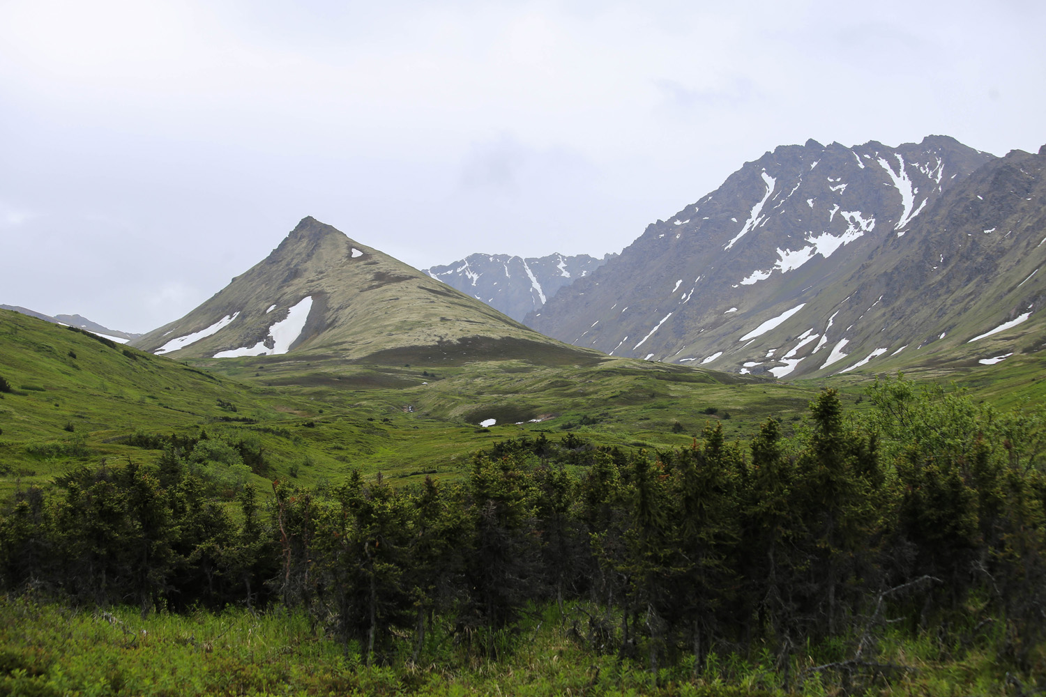
Archaeology crews outfitted with field computers and metal detectors walked across nearly 2,500 acres of JBER, searching for signs of the base's former uses.
Administrative Records Management
AERC scanned decades of documents into a public searchable database, facilitating access to information on Formerly Used Defense Sites across the Pacific. (Photo: Dena O'Dell, US Army Corps of Engineers, Alaska District)
Mapping FUDS across Alaska
AERC helped make digital maps of Formerly Used Defense Sites, a critical first step in environmental restoration for the US Army Corps of Engineers (Photo: U.S. Army Corps of Engineers, Alaska District)
Cultural and Spoken Research
Oral Histories of Ka’ala and Koke’e
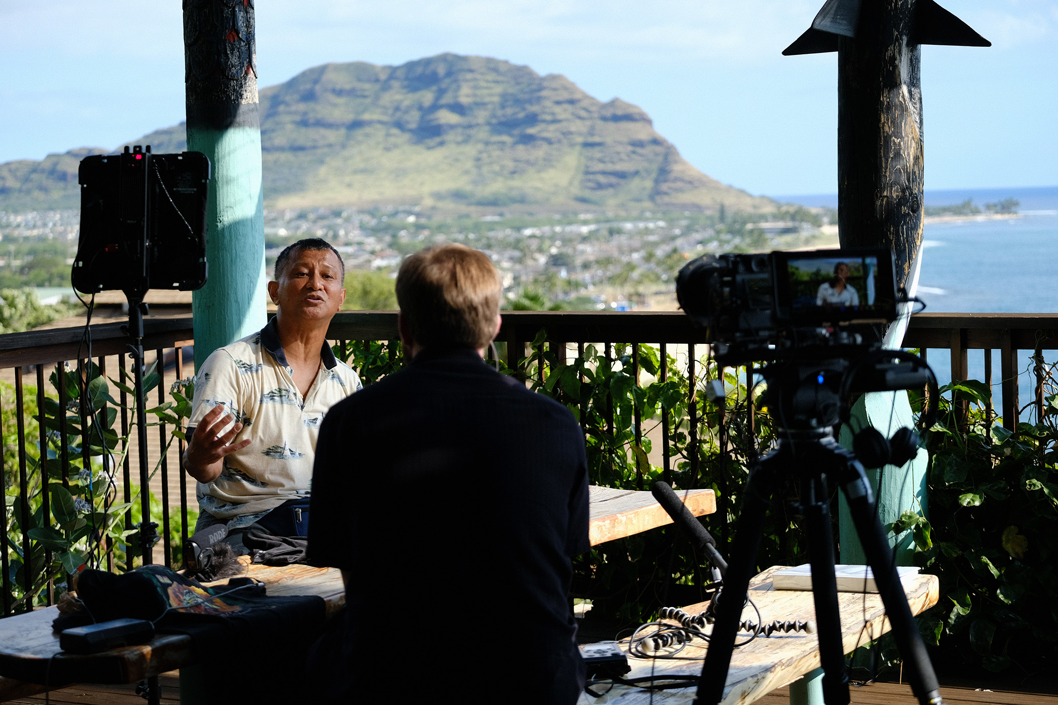
AERC interviewed Hawaiian members of the National Guard to record their experiences at Ka’ala and Koke’e radar stations.
Interpretive Displays and Signage
AERC installed historic displays at two century-old US Army sites on Oahu that continue to serve the Pacific region. (Photo: PO1 Daniel Barker, US Navy)
The University of Alaska is an Equal Opportunity/Equal Access Employer and Educational Institution. The University is committed to a policy of non-discrimination against individuals on the basis of any legally protected status.


