


Due to unsafe road conditions for Anchorage and surrounding areas, UAA’s Anchorage campus will be on a delayed start today, Thursday, Dec. 4. Campus will open at 10 a.m. to allow for safer travel.
Geomatics A.A.S.
-
Geomatics A.A.S.
Prepare for geomatics technician careers in a flexible two-year associate degree program at UAA.
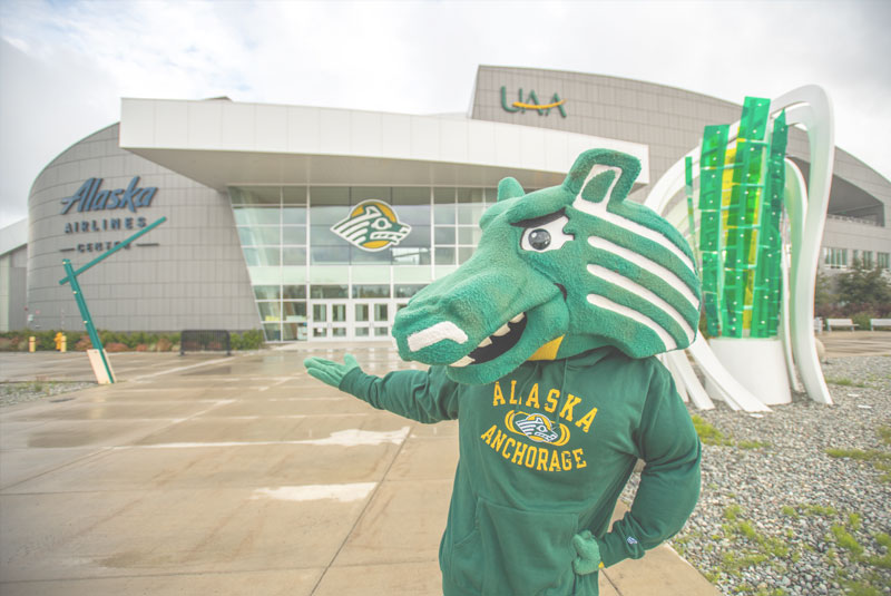
Explore the geomatics associate degree program at the University of Alaska Anchorage
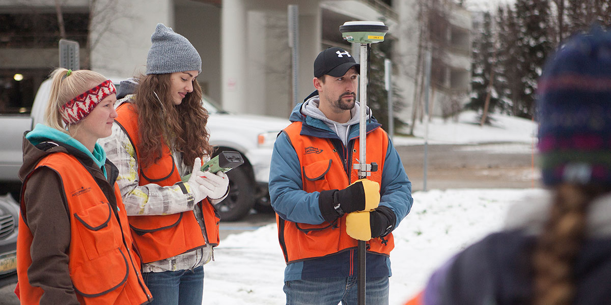
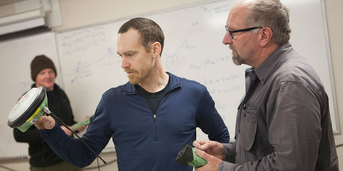
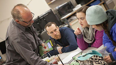
The Associate of Applied Science (A.A.S.) in geomatics is a science-based program that explores the methods and tools for acquiring geographic data, from land surveying to geographic information systems (GIS). Classes include extensive fieldwork and career development opportunities, with our Anchorage campus and surrounding Alaska landscape providing an extended classroom. All of the coursework for the associate degree can also be applied toward the geomatics bachelor’s degree program.UAA geomatics faculty
This program is led by geomatics engineering professionals with decades of teaching and industry experience in areas including photogrammetry, remote sensing, surveying, mapping and GIS. Faculty also work closely with industry leaders in Alaska and across the country to ensure UAA’s program offers the most up-to-date equipment and software available.
Online course options for geomatics majors
To offer greater flexibility for working students, UAA offers many geomatics classes in a convenient online format. View geomatics courses available online.
Geomatics scholarships and financial aid
Get help with tuition and education costs. UAA offers a variety of scholarship opportunities and other types of financial assistance you may qualify for as a geomatics major. Learn more about financial aid opportunities at UAA.
Did you know..
“I work full-time, attend classes, have a child and am active in the GSA—it has been a lot! I absolutely wouldn't have been able to complete this degree without an understanding faculty and after-hours help.” – UAA geomatics alumnus
What can you do with a geomatics degree from UAA?
UAA’s geomatics associate degree program prepares you for jobs as land survey technicians or as automated mapping technicians.
- Survey technicians frequently work outdoors, travel to various job locations and enjoy an independent lifestyle.
- Automated mapping technicians work with the latest cartographic techniques and equipment and can easily transfer skills learned in geomatics courses to other disciplines.
By the numbers..
Geomatics associate degree program highlights
A degree in geomatics will open the door to a wide range of careers related to oil and gas exploration, mining, mapping land boundaries and environmental protection. The following are some of the opportunities you’ll find in the geomatics associate degree program at UAA:
- Start your geomatics career in just two years. The associate program prepares you for technician-level jobs after two years of study. If you decide to continue your education later, you can apply all of your coursework toward a bachelor’s degree.
- Gain real-world experience. UAA offers a variety of experiential learning opportunities for geomatics majors, including internships, service learning projects, undergraduate research projects and study abroad programs.
- Learn from expert faculty. In addition to their dedication to teaching and advising, UAA geomatics faculty have decades of professional geomatics engineering experience to bring to the classroom.
- Work in state-of-the-art facilities. UAA boasts two dedicated geomatics labs that contain the latest equipment and software as well as a remotely accessible server for online learning.
- Take part in clubs, campus events and networking opportunities. These include the Geomatics Student Association (GSA) – a group that is active both on campus and in the community, offering a variety of leadership, volunteer and mentorship opportunities.

One reason they call Alaska “The Last Frontier” is because it’s the only state that’s still not fully mapped. UAA geomatics majors are out in the field, exploring the outdoors and making valuable career connections as they learn.

Create mountains and carve canyons with just the wave of a hand. The augmented reality sandbox uses an Xbox Kinect camera to demonstrate responsive topographic maps in 3-D.
The Geomatics Student Association (GSA) is kicking off a new mentorship program designed to connect interested students with one or more mentors from local companies and agencies.
Geomatics associate degree program curriculum
The associate degree curriculum provides a strong foundation in natural sciences, covering subjects that range from astronomy and physics to geology and oceanography. Core classes provide a solid background for geomatics technician careers, including classes in engineering surveying, boundary law, geographic information systems (GIS) and more.Top classes for geomatics majors
- In Fundamentals of Surveying, you’ll learn about concepts such as taping, leveling, angle measurements, traversing, mapping and using surveying instruments.
- In Boundary Law I, you’ll explore topics such as boundary history and ownership, title and transfer, the rectangular system and sequential conveyances.

Request Information
For more information about this program.
Request Information
Plan a visit!
Schedule a visit to UAA.
Plan a visit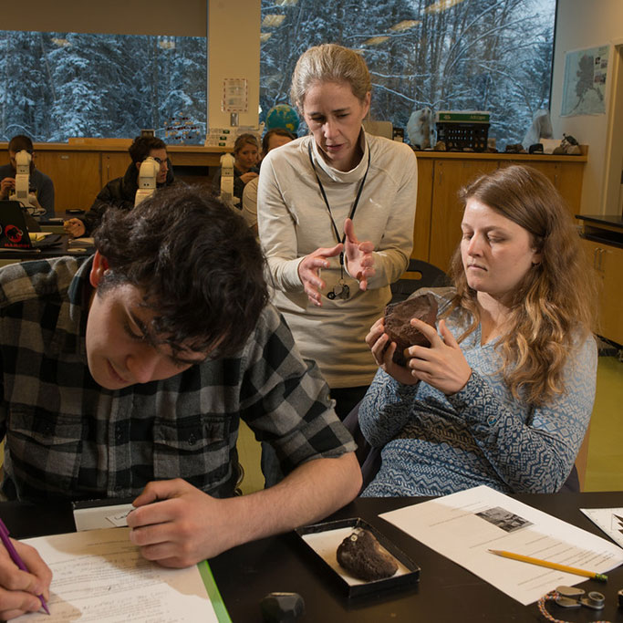
Apply Online
Ready to get started?
Ready to get started?