


Geomatics
Geomatics at UAA
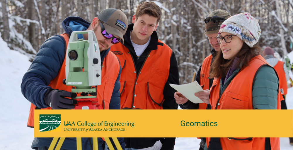
The Department of Geomatics at UAA's College of Engineering is an ABET accredited program offering curriculum and instruction in the latest industry technology. UAA has the only Geomatics program in the state of Alaska. Our faculty work closely with industry leaders to provide students with the most recent equipment and software available. UAA Geomatics has one of the few programs in the country that offers education in all 6 disciplines in the field of Geomatics.
Geomatics embraces the traditional disciplines of land surveying, mapping, geodesy, photogrammetry, and hydrography, together with the newer disciplines of remote sensing, digital photogrammetry, high density spatial data, LiDAR, and geospatial or geographic information systems (GIS). Geomatics professionals help design, map and manage the natural and the man-made resources of the earth. Their skills and efforts are important in project development and environmental protection. They gather, analyze, and manipulate data; map results; and help design new developments. The disciplines used in geomatics are based on advancing technologies and use an integrated approach to the acquisition, analysis, storage, distribution, management, and application of spatially referenced data.
The Geomatics program is designed to meet the educational requirements for professional licensure or certification in Alaska. However, the program might not meet the educational requirements for other states' professional licensure or certification. Please see UAA’s Licensure and Certification website for more information.
Degrees Offered:
- A.A.S. in Geomatics
- B.S. in Geomatics *
- Minor in Geographic Information Systems (GIS)
- Occupational Endorsement Certificate in Geographic Information Systems (OEC GIS) +
- M.S. in Artificial Intelligence, Data Science, and Engineering
* Accredited by the Applied Natural Sciences Accreditation Commission of ABET, https://www.abet.org
+Funds available up to $18,000 per individual including tuitions and living expenses through ARPA Fast Track program. View more information about eligibility and the ARPA Fast Track application.
Online Options:
To increase convenience and flexibility for our students, many of our geomatics classes are also offered online.View a complete list of our scheduled online courses.
Administrative Assistant
lcgordon@alaska.edu
ECB 208A
Caixia Wang
Professor, Department Chair
cwang12@alaska.edu
(907) 786-1804
ECB 302C
3310 UAA Drive, ECB 302
Anchorage, AK 99508